Loading ...

pramitee

Oceanographic Survey Services

Oceanographic Survey Services, Multibeam Survey, Side Scan

We offer comprehensive GIS and mapping services tailored to meet the diverse needs of the construction and infrastructure sector. Our offerings include Highway Construction Survey Services, High-Rise Building Construction Survey Services, and Bridge Construction Survey Services. With a strong focus on precision and efficiency, our surveys provide accurate geospatial data crucial for project planning and execution. Utilizing advanced equipment and industry-best practices, our experienced professionals ensure timely and reliable survey results. Whether it’s mapping terrain, verifying alignments, or supporting structural layouts, we deliver high-quality solutions that contribute to the success of complex infrastructure projects across various industries and locations.

Commercial Projects
0 +
Residential Projects
0 +
Hard Working Employees
0 +
Happy Customers
0 +
Commercial Projects
0
Residential Projects
0
Hard Working Employees
0
Happy Customers
0

Oceanographic Survey

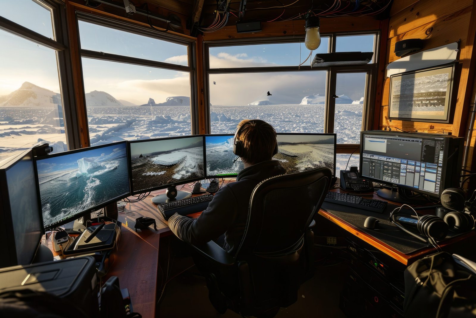
Our Hydrographic Survey Services provide accurate and detailed mapping of underwater features to support marine construction, navigation, dredging, and offshore development projects. Using advanced echo sounders, GPS, and sonar technologies, we collect precise bathymetric data to analyze water depth, seabed conditions, and submerged obstacles. These surveys are crucial for ensuring the safe design and execution of ports, bridges, pipelines, and coastal infrastructure. With a skilled team and modern equipment, we deliver reliable hydrographic data tailored to client needs. Our services adhere to international standards, supporting both government and private sector projects across rivers, lakes, harbors, and coastal environments.


Get A Quote

    Pramitee Engineering service PVT LTD