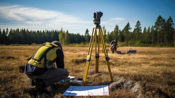
We offer professional Land Survey, GIS, and Mapping Services to support a wide range of engineering and construction projects. Our offerings include detailed Engineering & Construction Survey Services and end-to-end Survey and Engineering solutions. Using advanced GIS tools and modern surveying technologies, we deliver accurate spatial data for planning, design, and execution. Our services assist in land development, utility mapping, infrastructure planning, and terrain analysis. With a focus on precision and efficiency, our experienced team ensures timely and reliable outputs. PESPL’s integrated approach combines traditional surveying with digital mapping to meet the evolving needs of both public and private sector clients.