We offer comprehensive GIS and mapping services tailored to meet the diverse needs of the construction and infrastructure sector. Our offerings include Highway Construction Survey Services, High-Rise Building Construction Survey Services, and Bridge Construction Survey Services. With a strong focus on precision and efficiency, our surveys provide accurate geospatial data crucial for project planning and execution. Utilizing advanced equipment and industry-best practices, our experienced professionals ensure timely and reliable survey results. Whether it’s mapping terrain, verifying alignments, or supporting structural layouts, we deliver high-quality solutions that contribute to the success of complex infrastructure projects across various industries and locations.
Hydrographic Survey Solutions
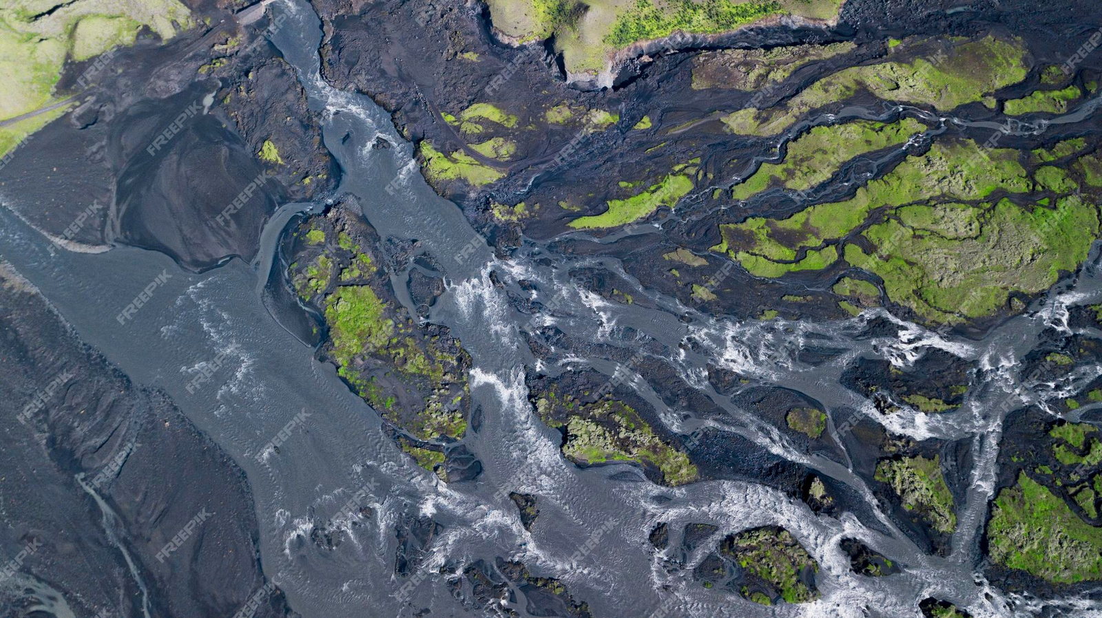
Our Hydrographic Survey Services provide accurate and detailed mapping of underwater features to support marine construction, navigation, dredging, and offshore development projects. Using advanced echo sounders, GPS, and sonar technologies, we collect precise
bathymetric data to analyze water depth, seabed conditions, and submerged obstacles. These surveys are crucial for ensuring the safe design and execution of ports, bridges, pipelines, and coastal infrastructure. With a skilled team and modern equipment, we deliver reliable hydrographic data tailored to client needs. Our services adhere to international standards, supporting both government and private sector projects across rivers, lakes, harbors, and coastal environments.
Commercial Projects
0+
Residential Projects
0+
Hard Working Employees
0+
Happy Customers
0+
Commercial Projects
0
Residential Projects
0
Hard Working Employees
0
Happy Customers
0
GIS Services Support
Our GIS Services Support offers powerful geospatial solutions to help businesses and government agencies make informed decisions through accurate mapping and spatial analysis. We specialize in collecting, managing, analyzing, and visualizing geographical data using advanced GIS tools and software. From land use planning and utility mapping to asset management and infrastructure monitoring, our services are designed to enhance project efficiency and precision. Our team ensures that all data is processed with accuracy and aligned with client objectives. With customized GIS solutions, we support a wide range of industries, including construction, urban planning, environmental management, and disaster response operations.